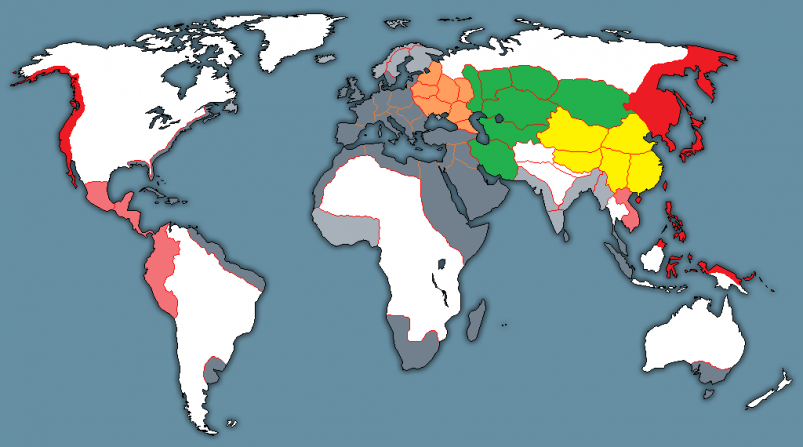
By Drew Bush A prevailing view of volunteered geographic information (VGI) is that large datasets exist equally across North American cities and spaces within them. Such data should therefore be readily available for planners wishing to use it to aid in decision-making. In a paper published last August in Cartography and Geographic Information Science, Geothink Co-Applicant Rob Feick put this … Read More
Mobile Feedback Applications for Base Map Editing
If governments wish to maximize citizen contributions on issues as varied as fixing maps, reporting potholes and commenting on social housing, they likely need easy-to-use tools for citizens to do so. One answer could be on mobile phones. Tool-building is more than a technical issue. Mobile devices have an increasingly central role in our daily activities; they become intermediaries for … Read More
Accuracy, Authenticity and Technical Aspects of Privacy
At the Universities of Laval and Waterloo, we are interested in what is often seen as the “virtuous cycle” of citizens’ increasing use of open government data and, potentially, for governments to actively leverage information that the public creates. Our work centers on issues of accuracy, authenticity and privacy in citizen-generated spatial data and the changing relationships between governments and … Read More