This is a guest post from Geothink Post Doctoral researcher James Steenberg, Ryerson University School of Urban and Regional Planning, working with Dr. Pamela Robinson. He writes about his experiences in Geothink’s student exchange program. By James Steenberg, PhD I recently undertook a three-day Geothink Summer Exchange at the University of Waterloo. My mission: to find out what, if anything, … Read More
Getting a Better Handle on Geosocial Data with Geothink Co-Applicant Robert Feick
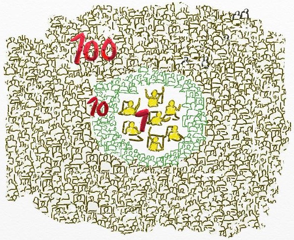
By Drew Bush A prevailing view of volunteered geographic information (VGI) is that large datasets exist equally across North American cities and spaces within them. Such data should therefore be readily available for planners wishing to use it to aid in decision-making. In a paper published last August in Cartography and Geographic Information Science, Geothink Co-Applicant Rob Feick put this … Read More
Geothoughts Talks 1, 2, & 3: Three Talks to Remember from the 2015 Geothink Summer Institute
By Drew Bush Geothink’s Summer Institute may have concluded over a month ago, but, for those of you who missed it, we bring you three talks to remember. Run as part of Geothink’s five-year Canadian Social Sciences and Humanities Research Council (SSHRC) partnership grant, the Institute aimed to provide undergraduate and graduate students from the partnership and beyond with knowledge … Read More
Geothink Summer Institute to Kick-off Monday, June 15, 2015!
By Drew Bush Get ready Geothinkers, this year’s Geothink Summer Institute will run from June 15-16, 2015 and will be held at the University of Waterloo in Waterloo, Ontario. Check in at our Summer Institute web site, where we’ll be live tweeting the day’s events. The agenda is jam-packed with big names in the emergent field of crowdsourcing, which one … Read More
Is Raw Data Bad For You? Open Data Obligations to Government.
By: Leah Cooke, Stephanie Piper, Alana Kingdon, and Peter Johnson *This blog post was written collaboratively during the springtime Geothink meetup between Ryerson University and University of Waterloo students + faculty. The goals of this meetup were to discuss current and future issues related to Geothink research themes. What strings are attached to governments that provide open data to citizens? … Read More
Accuracy, Authenticity and Technical Aspects of Privacy
At the Universities of Laval and Waterloo, we are interested in what is often seen as the “virtuous cycle” of citizens’ increasing use of open government data and, potentially, for governments to actively leverage information that the public creates. Our work centers on issues of accuracy, authenticity and privacy in citizen-generated spatial data and the changing relationships between governments and … Read More